|
The Cotswolds is a region of gentle hills and valleys, in and around Gloucestershire, filled with Middle England's most beautiful villages. Honey-coloured stone cottages overlook fields, bridges and streams. Take a walk, visit National Trust houses, shop at farmer's markets and eat at country pubs. This is an official Area of Outstanding Natural Beauty. |
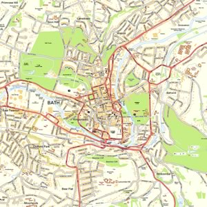
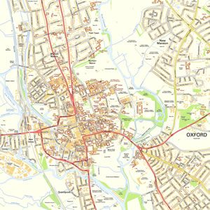
Map of Cotswolds including:
- The Cotswold Hills.
- Chelternham, Bath, Oxford, Newbury, Banbury, Swindon and Cirencester.
- Broadway, Chipping Campden, Moreton in Marsh, Stow on the Wold, Bourton on the Water, Burford, Witney.
- The Cotswold Way
- River Thames
- M4 and M5 Motorways.
|
This map is useful for:
- Tourist Information and Sightseeing.
- Visiting the Cotswolds for a Hotel Break or a Cottage Holiday.
- Route Planning such as Cycling.
- Activity Planning such as Walking & Hiking.
- Download and view this map offline on your PC, Laptop, iPad, iPhone or Android Mobile Phone or Tablet.
|
|
|
|
|
|
|
|
|
|