|
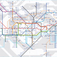
The London Underground subway system, or the Tube, is the premier transport network in England's capital city. It connects to buses, mainline trains and the Docklands Light Railway. There are 6 zones. The various lines go out into the city's suburbs, and even to Heathrow Airport. You can pay by Oyster Card. |
Map of the London Tube including:
- All major tube lines including Northern, Piccadilly, Circle, Central, District, Jubilee, Victoria.
- Entire tube network
- Docklands Light Railway
- Tube Zones 1 to 6
|
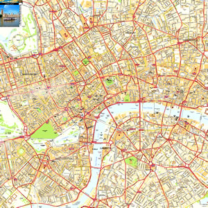
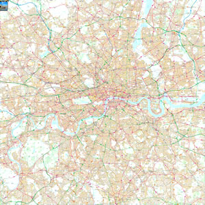
This map is useful for:
- Tourist Information
- Journey Planning
- London Business Travellers
- Where to book London Hotels
- Download and view this map offline on your PC, Laptop, iPad, iPhone or Android Mobile Phone or Tablet.
|
|
|
Map is Copyright Transport For London |
|
|
|
|
|
|