|
Shrewsbury is a medieval market town in the county town of Shropshire, just 9 miles from the Welsh border. Its Castle also hosts the Shropshire Regimental Museum. Rowley's House has exhibitions on art and local history. The Music Hall hosts theatre, while the Old Market Hall has become an arts cinema. |
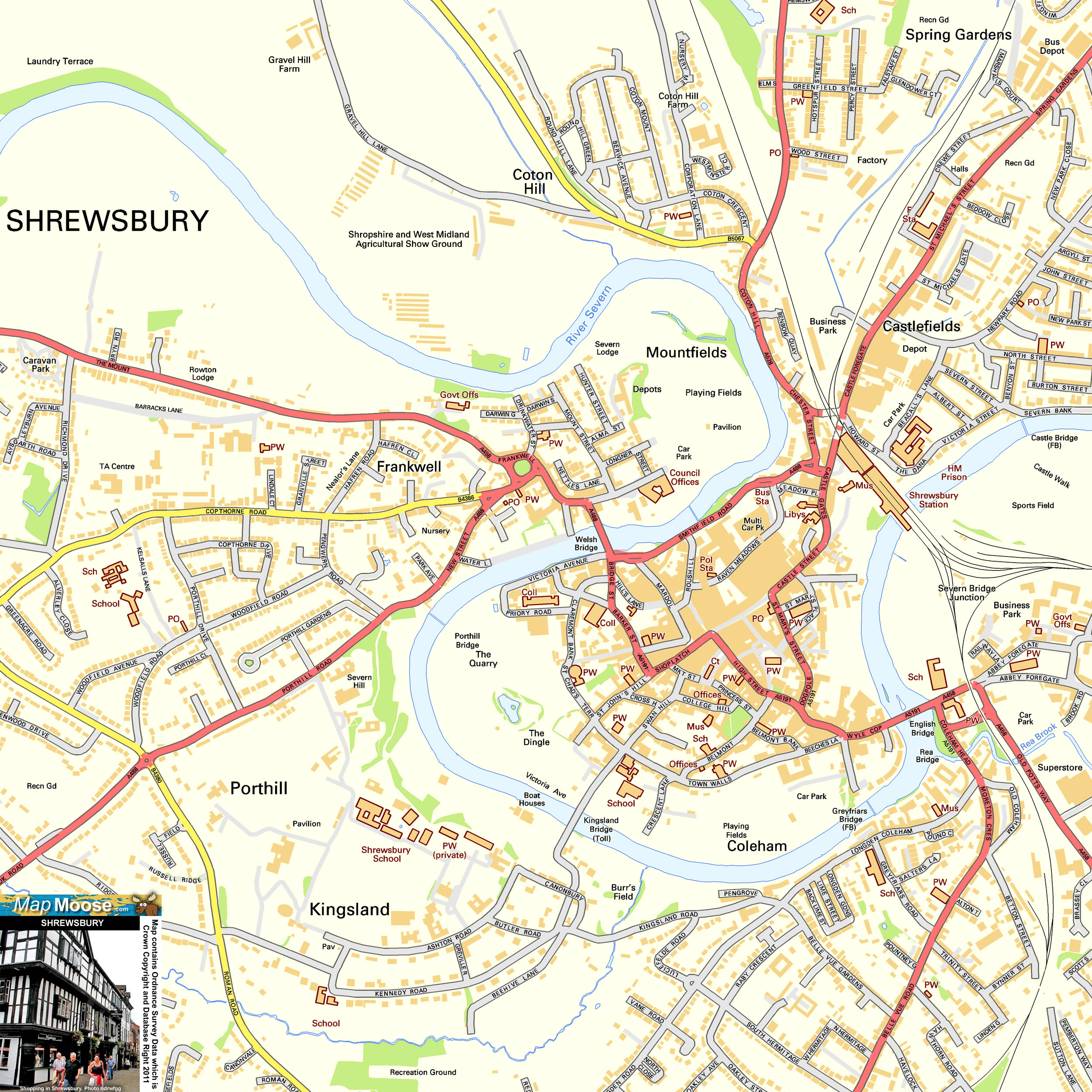
Map of Shrewsbury including:
- Shrewsbury Town Centre.
- River Severn.
- Shrewsbury Railway Station.
- Castlefields, Coleham, Mountfields, Coton Hill.
- Shropeshire and West Midland Agricultural Show Ground.
|
This map is useful for:
- Tourist Information.
- Visiting Shrewsbury in a Hotel.
- Shopping in Shrewsbury.
- Business Travellers.
- Download and view this map offline on your PC, Laptop, iPad, iPhone or Android Mobile Phone or Tablet.
|
|
|
|
|
|
|
|
|
|