|
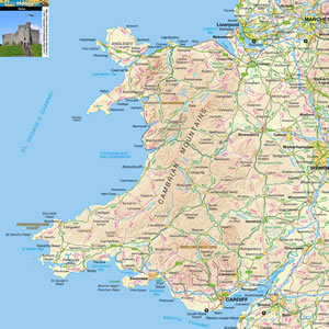
Pembrokeshire is a county at the South West corner of Wales. Much of the counties shoreline is within the Pembrokeshire Coast National Park. You can see seals, sunbathe on beaches or go kayaking. There are old forts like Pembroke Castle, and prehistoric stone structures like Pentre Ifan. St. David's is the UK's smallest city, but Haverfordwest is the county town. |
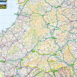
Map of Pembrokeshire including:
- Pembrokeshire Coast National Park.
- Pembroke and Pembroke Docks.
- Milford Haven and Haverfordwest.
- Cardigan, Fishguard and St David's.
- Tenby and Saundersfoot.
- Gower Peninsula.
|
This map is useful for:
- Tourist Information and Sightseeing.
- Hotel Holidays or Short Breaks.
- Pembrokeshire Cottage Holidays.
- Route Planning.
- Activity Planning such as Cycling, Sailing and Walking.
- Download and view this map offline on your PC, Laptop, iPad, iPhone or Android Mobile Phone or Tablet.
|
|
|
|
|
|
|
|
|
|